Anatomy of an inferno: inside the push to map, predict and prevent spread of increasing UK wildfires
AI Summary
Scientists in the United Kingdom are intensifying efforts to map, predict, and prevent the increasing spread of wildfires caused by hotter summers turning landscapes into tinderboxes. Detailed investigations analyze fire patterns in areas affected, from New Forest to south Wales.
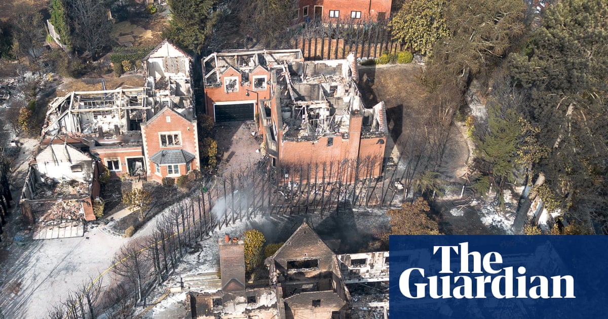
Scientists are racing to understand how fires behave as hotter summers turn green landscapes into tinderboxes From the scorched heathlands of the New Forest to the smouldering valleys of south Wales and burned-out homes in Stourbridge, an extraordinary summer of wildfires has left its mark across Britain. To most of us, these charred landscapes may look like pure devastation, but to a trained wildfire investigator they are full of clues. Heat-scorched leaves can become frozen in position, preserving evidence of the wind direction as the fire passed through. Soot or staining on rocks, the pattern of fallen grass and bracken, and even how those stems have burned, provide further information about how the fire itself moved. Continue reading...